BDM3d Seoul · KakaoTalk and email · Korean and English · 한국어 · Also: Dubai Tokyo Miami New York Mumbai Toronto · Canada
BDM3dStudios
Sign in Start a project
Studio

Visuals that hold up in a hearing.

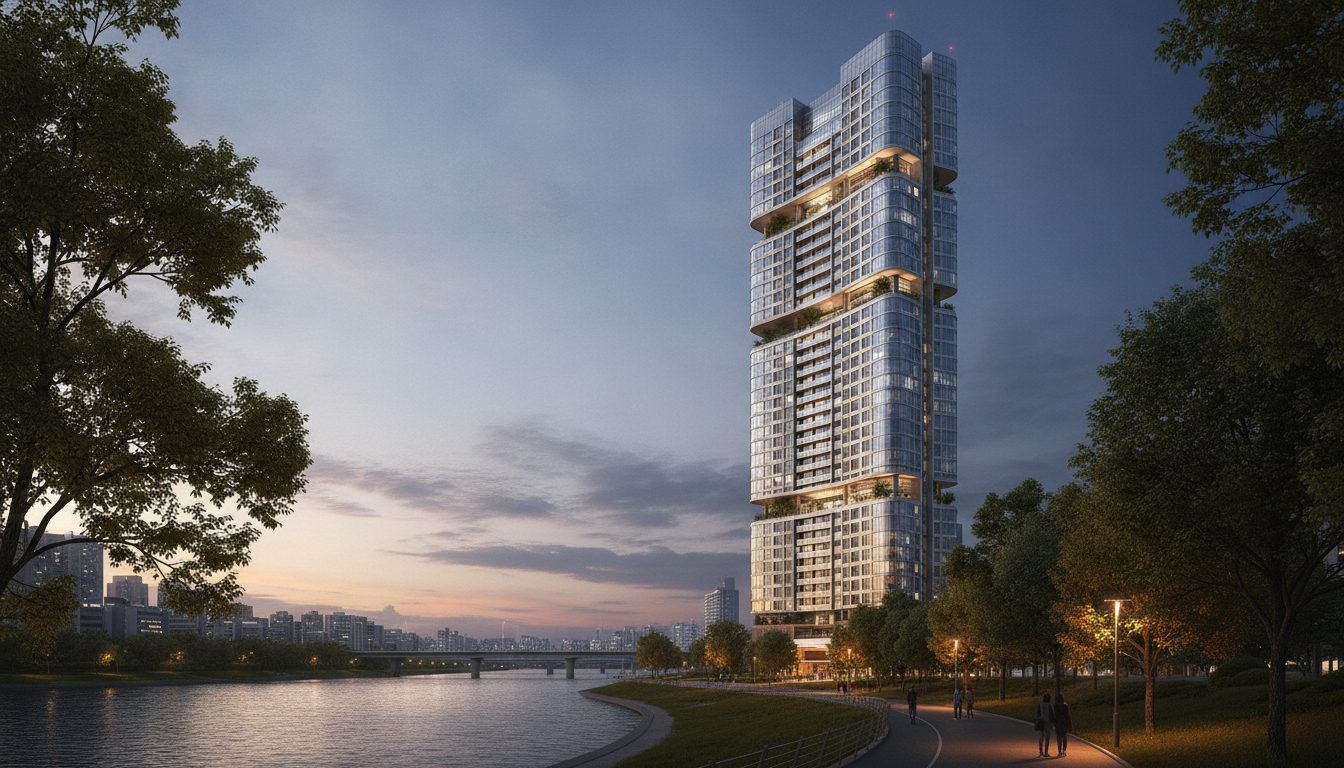
Council, staff and neighbours need to see the building from where they stand. We make accurate street-level views, context montages and shadow studies, and present them the way hearings actually run.

Start a projectBook a 20-minute call
What you get

What’s included.

  • ✓Street-level and eye-height views
  • ✓Photo-matched context montages
  • ✓Shadow studies
  • ✓Heritage-context views
  • ✓Council presentation deck
  • ✓Public-feedback page (CityLink, Coming for structured comments)
Related: CityLink for rezoning and council →
Who uses it, and when

Council visuals answer one question: what will I see?

Rezoning and development permit visuals serve planners, advisory design panels, council and neighbours. They are ordered by the developer, but shaped by the planning consultant, the architect and sometimes a heritage consultant. The work starts before the application, when early views help test the scheme with staff, and continues through each review round to the council meeting.

Process varies by municipality and has changed in BC in recent years. Many residential rezonings that are consistent with an official community plan no longer go to a public hearing, while others still do. Staff reports, design panels and council still rely on images. Check with your municipality early about what it expects: view locations, shadow study dates and times, and file formats.
What goes wrong

Why council images get challenged

What it costs

Views nobody can stand at

A high, wide-angle view makes a building look smaller or more open than it will feel from the sidewalk, and staff or neighbours discount the whole package.

How it’s solved

We use eye-height views from real, recorded positions with normal lenses, photo-matched to site photography.

More →
What it costs

Missing context

A building shown alone on a white background can't answer questions about the neighbours.

How it’s solved

We model the surrounding context accurately, using site capture where needed, so the fit is visible.

More →
What it costs

Changes between rounds are unclear

After a revision, nobody can quickly show council what changed in response to staff comments.

How it’s solved

CityLink keeps each round with what changed and why, so before-and-after is one click.

More →
What it costs

Files too large to send

Packages bounce off email limits, and the version on the clerk's laptop is out of date.

How it’s solved

The CityLink presentation theatre runs from one link in the chamber or on a laptop.

More →
What it costs

Neighbour feedback in scattered emails

Comments arrive by email, letter and phone, and are hard to summarize fairly.

How it’s solved

Structured neighbour feedback in CityLink is coming. Today we keep the visuals and round history on the record.

More →
How it's made

Building a package that holds up

01

Agree the views

With the planning consultant and staff, fix the view locations that matter: approaches, adjacent homes, heritage frontages and protected views.

02

Gather inputs

Drawings (CAD, Revit, SketchUp or PDF), the site survey, landscape plan and finish schedule, plus site photos with recorded camera positions.

03

Build context

Neighbouring buildings, grades and trees are modelled so the scheme sits in its real setting.

04

Photo-match

The model is aligned to each photograph so the building appears at its true size and position.

05

Shadow studies

Shadows are run for the dates and times the municipality specifies, often around the equinoxes and solstices.

06

Present

The package is assembled for staff, the design panel and council, and presented from CityLink.

The view types

What each council visual is for

VisualWhat it showsWho relies on it
Eye-height street viewThe building as a pedestrian or neighbour will see itCouncil, neighbours, planners
Photo-matched montageThe model placed into a real site photograph at true scalePlanners and design panels
Context aerialMassing against the surrounding blocksStaff and council
Shadow studyShadows cast at set dates and timesPlanners, neighbours
Heritage-context viewScale, rhythm and materials beside heritage buildingsHeritage consultants and staff
Before-and-afterWhat changed between review roundsCouncil and staff
Reviewing together

Who shapes a rezoning package

RoleThey need from youYou need from themOn one record

Planning consultant

They need from you

Views that answer staff's actual concerns.

You need from them

The staff comments and the list of required views.

On one record

Comments and view requests sit on the same record as the images, round by round.

Heritage consultant

They need from you

Views showing scale, rhythm and materials next to heritage buildings.

You need from them

The frontages and character elements that matter.

On one record

Heritage views are reviewed alongside the architect's markups, so both see the same image.

City planners

They need from you

Accurate, comparable images between rounds.

You need from them

Clear guidance on what they will accept.

On one record

Each round is kept, so staff can compare versions without asking for old files.

Architect

They need from you

Revisions reflected quickly between rounds.

You need from them

Updated drawings.

On one record

The model updates once and every view in the package follows.

One scene, every use

The rezoning model becomes the marketing model

The context model and building built for council carry into marketing renderings, film and the web tour. The approved design at council is the design buyers see, which removes a common source of mismatch. For more on what staff and council look for, read rezoning visuals in BC.

Keep reading

Questions

Do you work with heritage consultants?+

Yes. We build the views they need to show fit and character.

Can council see it live?+

A presentation link runs in the chamber or on a laptop, with no files to email.

What renderings do I need for a rezoning application?+

It varies by municipality. Most ask for street-level views from agreed points, context showing neighbours, and often shadow studies. Ask staff early for their list.

What is a shadow study?+

A set of images or diagrams showing the shadows a building casts at set dates and times of year. Municipalities specify the dates and hours, so check with yours.

Do rezonings in BC still need a public hearing?+

Not always. Provincial changes mean many residential rezonings consistent with an official community plan no longer hold one. Check with your municipality.

What is a photo-matched rendering?+

A rendering where the 3D model is aligned to a real photograph of the site, so the building appears at its true scale and position.

Can council view the presentation without downloading files?+

Yes. The CityLink presentation theatre runs from one link in the chamber or on a laptop.

Can neighbours comment through CityLink?+

Structured neighbour feedback is coming. Today CityLink holds the submission rounds and runs the council presentation.

Do you work with heritage consultants?+

Yes. We build the views they need to show fit and character next to heritage buildings.

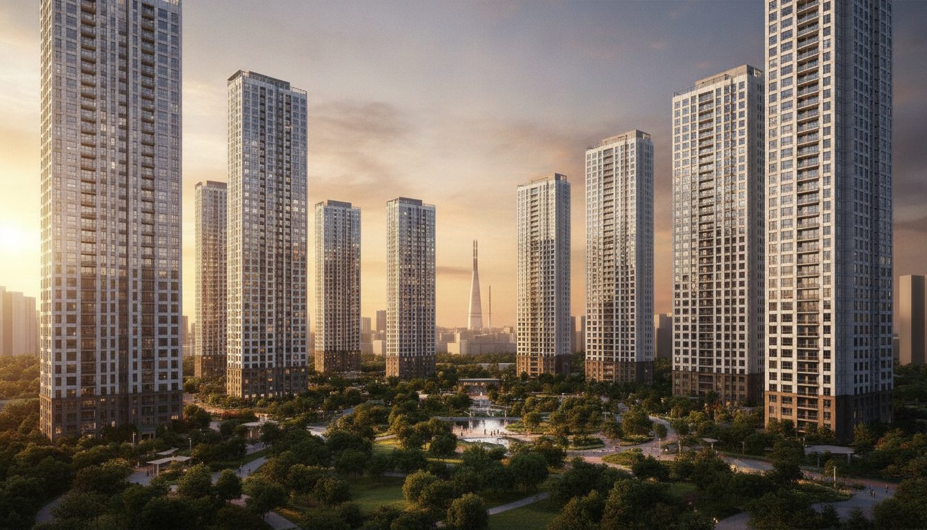
Panoramic twilight rendering of a new community

Concept to keys, and beyond.

Tell us where your project is. We'll tell you what it needs, and show you the scope before we start.

Start a project Book a 20-minute call