Your report cites a superseded set
The architect revised the massing after your draft went out. Staff notice the mismatch before you do.
Every version is dated on one record, and you can see which one is approved before you finalise.
More →Consultants rarely start on the same day. A planning consultant is often in first, reading the Official Community Plan, the zoning bylaw and any local area plan, writing the policy rationale and shaping the engagement strategy. A heritage consultant follows when the site is on a register, sits in a heritage conservation area or sits next to a protected building, preparing a statement of significance and a heritage impact assessment. Many BC municipalities reference the national Standards and Guidelines for the Conservation of Historic Places in Canada in that work.
Engineering runs alongside. The transportation engineer studies traffic and parking, the civil engineer works through servicing and stormwater, and the landscape architect works with an arborist on which trees stay. A cost consultant or quantity surveyor prices the design at each stage, from a rough class of estimate at massing to a detailed one before tender.
Each of you writes a report that describes drawings of a specific date. That is the weak point. Designs move between submission rounds, and a report that cites last month's set can be picked apart in a staff review or a council meeting. The work below is about keeping your report tied to the right version, and getting the views your argument needs.
Your reader has changed too. With fewer residential rezonings going to a public hearing, much of your work is now read by staff and council in a report package rather than argued in a room. That puts more weight on what is on the page: a method stated plainly, views that can be checked, and drawings of the right date. A reviewer who cannot verify a view will set it aside.
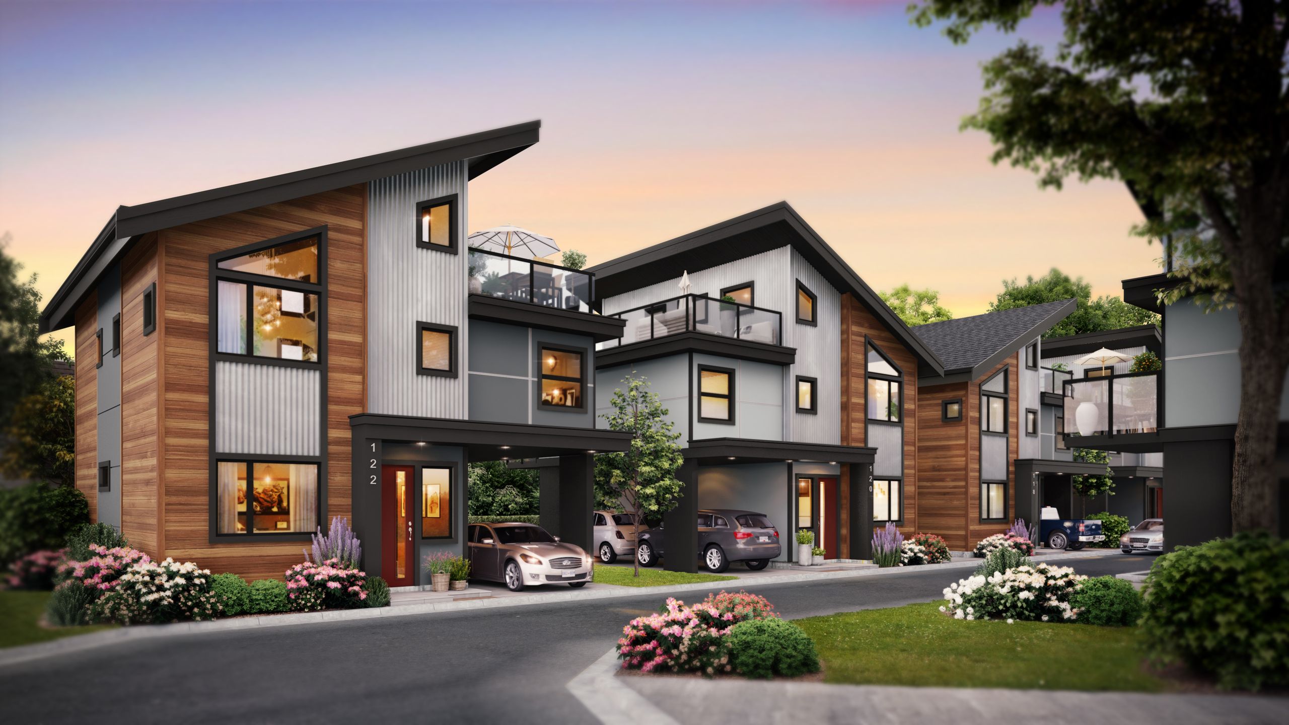
The architect revised the massing after your draft went out. Staff notice the mismatch before you do.
Every version is dated on one record, and you can see which one is approved before you finalise.
More →Wide lenses and high angles flatter a building and shrink its neighbours. A careful reviewer discounts them.
We make eye-height, photo-matched views and state the camera position, height and lens.
More →Without dates, times and true north on the page, a shadow study is a picture, not evidence.
We model the real site location and put the parameters on each sheet. Many municipalities set the dates and times they want, so check with yours first.
You send a marked-up PDF to the architect and never learn whether it was acted on.
Pin your comment on the image in StudioLink (live). The response sits under it, visible to the whole team.
A floor is added or a setback shifts and nobody tells the consultant whose report depends on it.
As an invited guest you see new versions as they arrive, not weeks later.
The cost consultant carries a design option the team abandoned two rounds ago, and the budget conversation goes sideways.
Approvals and dates are on the record, so the priced option can be matched to the current one.
Images arrive at the wrong size or aspect for your report layout.
You download exports for your report from the approved set, at the resolution you need.
Your constraints early: heritage character, tree retention, parking numbers, cost targets.
A stable, dated set and notice when it changes.
One record of versions means you both cite the same drawings. See for architects.
A clear view of risk: what staff will push back on and what it costs to answer.
Decisions on options, so you are not writing for three designs at once.
Approvals are dated, so the option you analyse is the one they chose.
Your findings where they touch their own: the arborist's root zones for the civil engineer, the heritage view for the planner.
Theirs, in the same way.
Comments on a shared image let one discipline see another's note without a meeting.
Heritage and planning cues for the public edge.
Planting at a realistic size in every context view.
Tree size is agreed per view and noted on the record. More at for landscape architects.
Reports that match the drawings and state their method.
Their comments tied to a specific round.
CityLink keeps each submission round and what changed. See for municipalities.
Honest views from where they actually stand.
Feedback that can be sorted and answered.
Views are shown from street level today. Structured neighbour feedback in CityLink is coming.
To know which approved images are safe to use publicly before the application is decided.
Assurance that views prepared for your report are not cropped or retouched into something they are not.
Marketing draws from the approved set, and each image keeps its version history.
Swipe to see more →
| Consultant | What your report usually needs | What we can make with you |
|---|---|---|
| Planning | Street-level views from key public spots, context massing, a comparison of existing and proposed | Eye-height, photo-matched views and before-and-after pairs |
| Heritage | Views that show scale, setback and materials next to the historic building | Heritage-context views with the historic building modelled from survey and photos |
| Landscape | Planting at a stated age, the public edge, amenity spaces | Ground-plane views with tree size agreed per view |
| Transportation and civil | Access, driveways, frontage works | Street views that show the frontage as drawn |
| Cost | Clarity on which option is current | A dated, approved set to price against |
| Any consultant | Sun and shade on neighbours and public space | Shadow studies with dates, times and true north stated |
| Engagement and open houses | Boards and screens the public can read quickly | Large-format stills, short films and a presentation link |
It is a report that describes a place's heritage value and explains how a proposed change affects it, and how that impact is avoided or reduced. Requirements differ by municipality and by the property's status, so check with your municipality's heritage planner.
Many municipalities ask for the spring or fall equinox and the summer and winter solstices at several times of day. Some set their own list. Confirm before modelling, because redoing a study for different dates costs time.
They are commonly included in staff reports and presentations. Their weight depends on how accurate and transparent the method is, so state the camera location, height and lens on each view.
Usually the applicant commissions and pays for them. The consultants say what their reports need, and the package is built to serve all of them at once.
Yes. Guests invited to a project sign up free and get a dashboard with the access the project owner gives them.
Since the province's 2023 housing legislation, many residential rezonings in BC that are consistent with the Official Community Plan no longer hold a public hearing. Exceptions and local procedures vary, so check with your municipality. Your report may now be read mostly by staff and council rather than presented to a room.
Yes. Record where you stood and the time, and we match the camera. For aerial context, our drone partner can capture the site. See drone and mapping.
A rendering shows the whole scene as a computer image. A photomontage places a modelled building into a real photograph of the site, matched to the camera's position and lens. For planning and heritage work, photomontages are often preferred because the context is a photograph, not an interpretation.
Cite the drawing set by its date and revision, and confirm with the architect before you issue. On a shared record you can see the approved version and its date, which removes most of the guesswork.