What it costs
View promises that don't hold
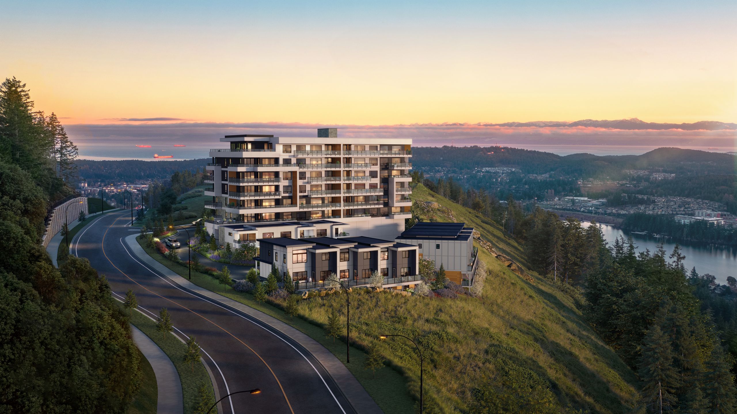
Marketing shows a water view from a floor that, in reality, looks at the neighbour's roof.
How it’s solved
We capture at the heights of real floors, so view images match what each level will see.
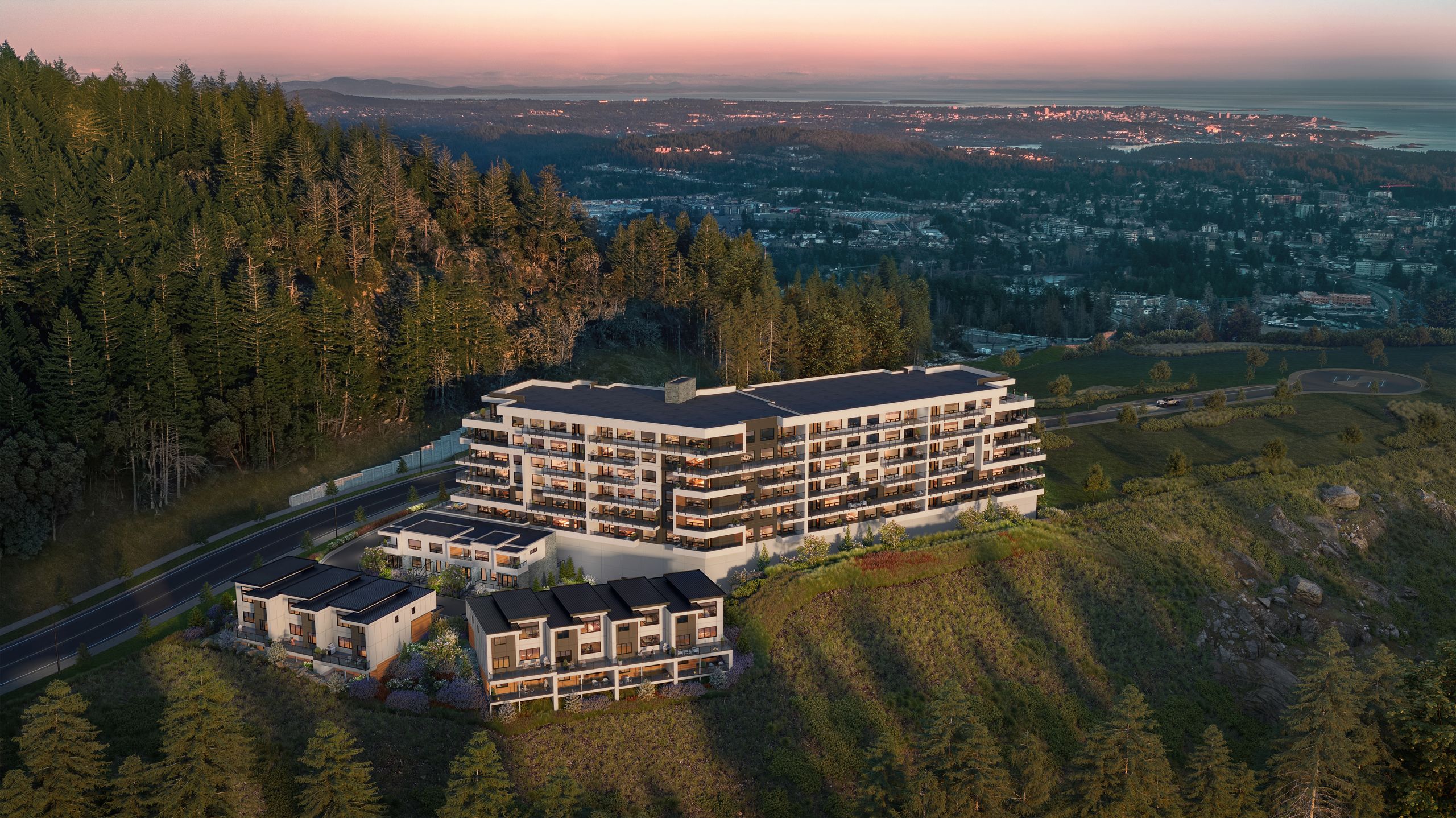
More →Developers use aerial photos and site mapping before they buy, to understand slopes, access, trees and neighbours. Architects use the same capture as context for massing. Planning consultants use it for photo-matched rezoning views. Marketing uses elevated photos to show the view from a future floor. Builders use repeat flights to record progress.
Plan the first flight early, because one well-planned capture can serve several of these needs. Drone work is flown through our drone partner, and the results come into the same project record as the renderings.
Drone flights in Canada fall under Transport Canada rules. For drones between 250 grams and 25 kilograms, the drone must be registered and the pilot certified, with advanced certification needed for controlled airspace, such as near airports, and for flying close to people. Some sites also need permission from the landowner or the municipality to take off, especially parks. Rules change, so check the current requirements for your site.
Weather matters too. Wind, rain and low cloud cancel flights, so leave room in the schedule. Privacy also matters: flights over neighbouring homes should be planned to avoid capturing people and backyards more than the work needs.
Marketing shows a water view from a floor that, in reality, looks at the neighbour's roof.
We capture at the heights of real floors, so view images match what each level will see.
More →A drone map is used to set a property line or grade, and the numbers don't hold up.
Drone mapping is context. Legal boundaries and design grades come from your surveyor, and we align the capture to their survey.
More →Renders use a site photo from years ago, with buildings that have since changed.
The site sits in controlled airspace and nobody planned for approvals.
Airspace is checked when the flight is scoped, not on the morning of the flight.
More →Swipe to see more →
| Output | What it is | Typical use |
|---|---|---|
| Aerial stills | High-resolution photos from chosen heights and angles | Feasibility, marketing, context backplates |
| Aerial video | Smooth passes over and around the site | Films and presentations |
| Stitched site map | Overlapping photos combined into one top-down image | Site planning and context |
| 3D site mesh | A textured model of the site and neighbours | Context for renderings and tours |
| Floor-height views | Photos taken at the height of future floors | View images for buyers |
| Progress capture | Repeat flights from the same positions | Construction records |
List what the capture is for: feasibility, rezoning views, marketing views or progress. Each changes the heights and angles.
Site address, survey, site plan and your drawings (CAD, Revit, SketchUp or PDF), plus the floor-to-floor heights if you want view images.
Airspace, permissions and weather windows are checked with our drone partner.
Stills, video, and overlapping photos for mapping are captured in one visit where possible.
Photos are stitched into a map and a 3D site mesh, and aligned to your survey.
The capture becomes context for renderings, photo-matched views, the tour and progress records.
Nothing from the drone for the legal survey.
The survey, to align the capture.
The aligned capture sits on the record next to the survey it was matched to.
Context for massing and planting.
Design drawings for photo-matching.
Both use the same capture, so their views agree.
Accurate view images by floor.
The floors and directions buyers ask about.
View images join the tour by level.
A record of progress.
Access and a safe window for flights.
Progress flights are dated on the project record.
The site capture becomes part of the project's scene. The same context appears in the rezoning views, the marketing renderings and the web tour, so the neighbours, the trees and the horizon match across all of them. When the building is photo-matched once, the camera positions are kept and reused for later rounds, later seasons and later phases.
In Canada, most drone work needs a registered drone and a certified pilot, and some sites need extra approval for controlled airspace or take-off. Check the current Transport Canada rules and with your municipality.
No. Drone mapping is good context, but property lines and design grades should come from a surveyor.
Yes. We capture at the height of each floor, so view images match what that level will see.
Aerial stills, video, a stitched map of the site and a 3D site mesh, aligned to your survey.
Early, since one capture can serve feasibility, rezoning and marketing. Leave room for weather.
Yes. Repeat flights from the same positions give a dated record of progress.