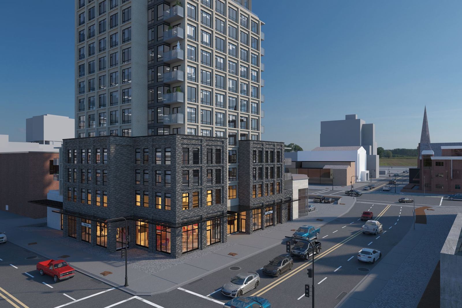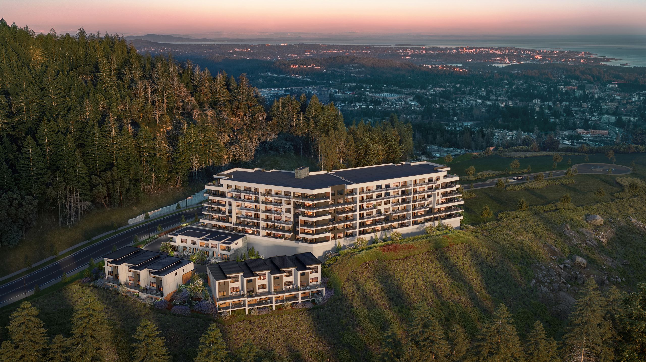
Made beautiful since 2008
BDM3d Studios was founded in Victoria in 2008, and our first project goes back to 2003. We make renderings, film, AI-assisted variations, rezoning and council visuals, web tours and sales-centre screens, for developers, architects and marketers across the Lower Mainland, from downtown towers to townhomes in the Fraser Valley.
We work as one team across several time zones, with partner studios working inside our system, all held to one deadline. Every job starts with a scope you see before we begin, and the whole project runs in StudioLink, where orders, reviews, versions and approvals live on one record.
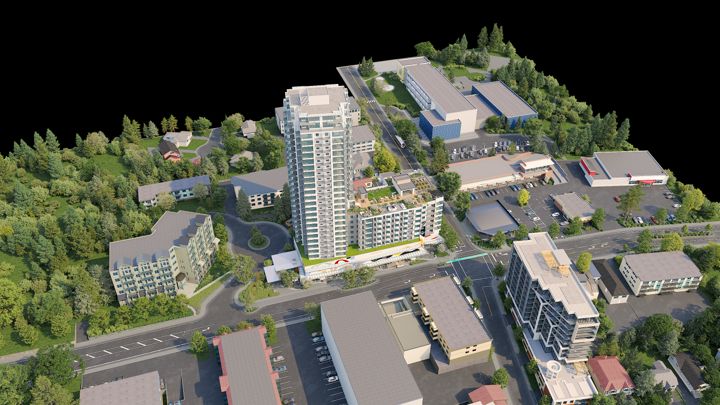

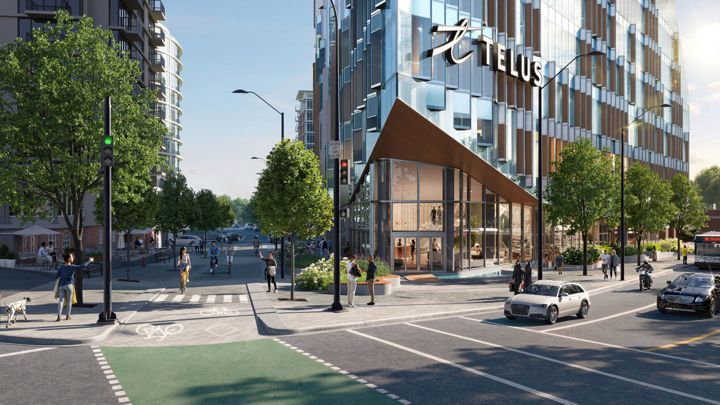
One region, many councils
- ✓Vancouver: towers downtown and along the Broadway Plan corridor, with protected view cones that shape what can be built.
- ✓Burnaby: high-density town centres such as Metrotown and Brentwood, built around SkyTrain.
- ✓Surrey: one of the fastest-growing cities in Canada, with a new downtown at City Centre and townhome neighbourhoods to the south and east.
- ✓Richmond: dense growth along No. 3 Road, with building heights limited by the flight paths into YVR.
- ✓Coquitlam and the Tri-Cities: tower clusters at Burquitlam and Coquitlam Centre on the Evergreen line, with Port Moody and Port Coquitlam alongside.
- ✓The North Shore: the City and District of North Vancouver and West Vancouver, with steep sites and views across the harbour.
- ✓New Westminster: a historic river city with heritage streets and new towers by the water.
- ✓The Langleys: the City and Township of Langley, with master-planned townhome communities and SkyTrain on its way.
- ✓Delta, Maple Ridge and the Fraser Valley: growing suburbs, from Ladner and Tsawwassen to new neighbourhoods up the valley.
Separate councils, separate processes
Each of these municipalities has its own council, its own official community plan and its own way of reviewing applications. The City of Vancouver sends many projects to its Urban Design Panel, checks towers against its protected view cones, and rezones within area plans such as the Broadway Plan. Burnaby, Surrey and Coquitlam each have their own panels and submission lists. Provincial housing legislation from 2023 brought small-scale multi-unit housing to single-family lots and transit-oriented areas around SkyTrain stations, and each municipality has been applying it in its own way.
What works in Surrey may not be what Vancouver's planners expect. Before we plan a package, we ask what the municipality has asked for, and we build the views around the process your application will actually follow. Check with your municipality early, and bring your planning consultant in from the start. Our guide to rezoning visuals in BC covers the general practice.
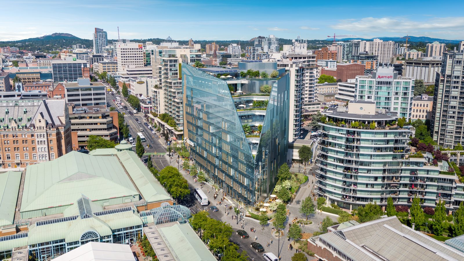
Vancouver has its own challenges
Towers and view cones
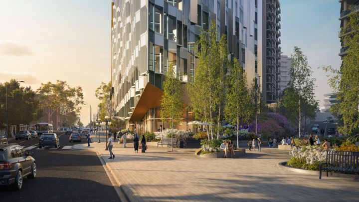
Downtown and along the transit corridors, height is the question. Council and neighbours want to see a tower against the skyline, from the protected viewpoints and from the street. We build accurate massing views from the vantage points the city names, alongside the eye-height images that sell the building.
Presale launches
Much of the new housing in the region sells as presales, often before construction starts. Buyers decide from renderings, the sales centre and the website. We make the full set from one approved scene, so the exteriors, interiors, film and tour all match on launch day.
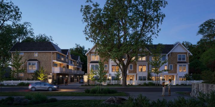
Townhomes and transit-oriented infill
Townhomes, plexes and mid-rises near SkyTrain are a growing share of regional work under the new provincial housing rules. These projects live or die on how they look from the street next to existing houses, so modest, accurate street views matter more than dramatic aerials.
Our light and seasons
West Coast light is soft and often grey, with rain for much of the year and snow on the North Shore mountains. Images that look like somewhere else ring false to local buyers. With AI working from the approved scene, one view can show a clear summer evening and a wet November afternoon without changing the building.
For Vancouver-area projects
- ✓Rezoning and development permit visuals: eye-height street views, photo-matched context, view-cone and shadow studies, presented to council through CityLink, which is live.
- ✓Marketing renderings: exteriors, interiors, aerials and street views for presale launches, with seasonal and time-of-day variations from one approved scene.
- ✓Film and animation: flythroughs, lifestyle films and social cuts built from the same scene as the stills.
- ✓Web tours and sales-centre screens: availability, plans, gallery, 360 views and registration, on the web and on touchscreens in the sales centre.
- ✓Drone and site capture: aerial stills, video and mapping through our drone partner, for context and camera positions.
- ✓Branding, websites and staging: the project's name and identity, its website, and staged interiors for launch.

Across the Lower Mainland
We work on projects across the Lower Mainland, including residential work in Richmond and townhome communities in Langley, and our studio covers the coast from Vancouver Island to the Fraser Valley. Most of our client work is shown only with permission; ask us for a private walkthrough of projects like yours.
Working with local teams
Local architects
Their design shown as drawn, with accuracy checked before anything goes public.
Current drawings and a quick answer when a detail is unclear.
They mark up the image itself in StudioLink, and every version is kept.
Planners and urban design consultants
Views from the vantage points each municipality asks for, including the City of Vancouver's protected viewpoints, with camera data for their reports.
The required view list and the municipality's rules.
Their comments sit on the same record as the architect's, round by round.
Marketers and sales teams
Approved images, film and tours on time for the launch, in every format.
The campaign calendar and the release plan.
They pull from the approved set, so what goes on the hoarding is what was approved.

Questions
Where is BDM3d based?+
In Victoria, British Columbia, since 2008. We work on projects across Vancouver and the Lower Mainland, and elsewhere in Canada and beyond.
Do you work in Burnaby, Surrey and Richmond?+
Yes. We work across Metro Vancouver, including Vancouver, Burnaby, Surrey, Richmond, Coquitlam, the North Shore, New Westminster and the Langleys. Each has its own process, and we plan the visuals around it.
Can you make rezoning renderings for a Vancouver-area council?+
Yes. We make eye-height street views, photo-matched context, view-cone studies and shadow studies, and present them through CityLink, which is live for council presentations. Confirm the municipality's requirements early.
Do you do drone photography in Vancouver?+
Yes, through our drone partner, following Transport Canada rules, including the controlled airspace over much of the city. Aerial capture and site mapping give renderings accurate context.
Can we meet in person?+
Ask us. Victoria is a short flight from downtown Vancouver, and most reviews happen in StudioLink, with meetings in the browser, so the architect, the consultants and the marketing team can all take part wherever they are.
How much does a rendering cost in Vancouver?+
Every job is scoped to the project, and you see the scope before we begin. Our guide to what drives the cost of a rendering explains the factors.
How do I get started?+
Start a project and tell us where it is and what stage it is at. We will show you the scope before any work begins.